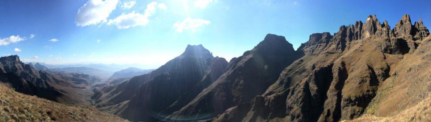
n A real mountain run on a remote part of the mountain. The path is remarkably well worn. The actual Myburgh’s Ravine would probably be quite wet and treacherous in winter or after rain.
 Approach: Drive up to Farrier’s Way from Valley Road. You will pass through a and park your vehicle at the end of the road. Take care not to block any driveways.
The path heads up the hill (through a canopy of trees) about 50 m from the end of the Cul de Sac. Just behind the back line of houses there is a gate. You will need to call the number on the board to get the code for the gate.
Continue up to the contour path. Turn right and continue for a short while.
As soon as the path dips down a little and enters some trees, look out for a vague path branching off to the left. This is to the left of the stream. There are a few different options here but they all lead to the same place in the gorge. You will face a few short rock steps requiring care. The Ravine narrows and you will need to follow the river bed for a while. Cairns and a steep path up the right hand slope brings you out of the ravine.
The path winds up into the boggy reeds above. Continue to the crest of the rise where you will find the path. Turn left and up a step. Follow this to the top of Llundudno Ravine.
Down the scramble via some stainless steel ladder rungs.
When you hit the treeline just above the Suikerbossie Restaurant turn left. This path undulates a fair bit and the strong will be able to run it all. Take the first turn right after the wooden bridge to take you down to the start. You will need the code to access the gate again. This last 2.3 km is a great test of fitness.
7.3 km, 630m of ascent.
90 minutes is a pretty respectable time for this loop.
Find my movescount link here.
